Maps
In collaboration with Salt Lake City’s Trails and Natural Lands, I designed custom maps illustrating the trail network in the Foothills Natural Area.
18th Avenue Trailhead map
This map was created for the trailhead kiosk at 18th Avenue. It orients trail users to the different trail designations, length, elevation, and access points within the map extent.
Short trail descriptions are offered in the lower right with distance and elevation information.

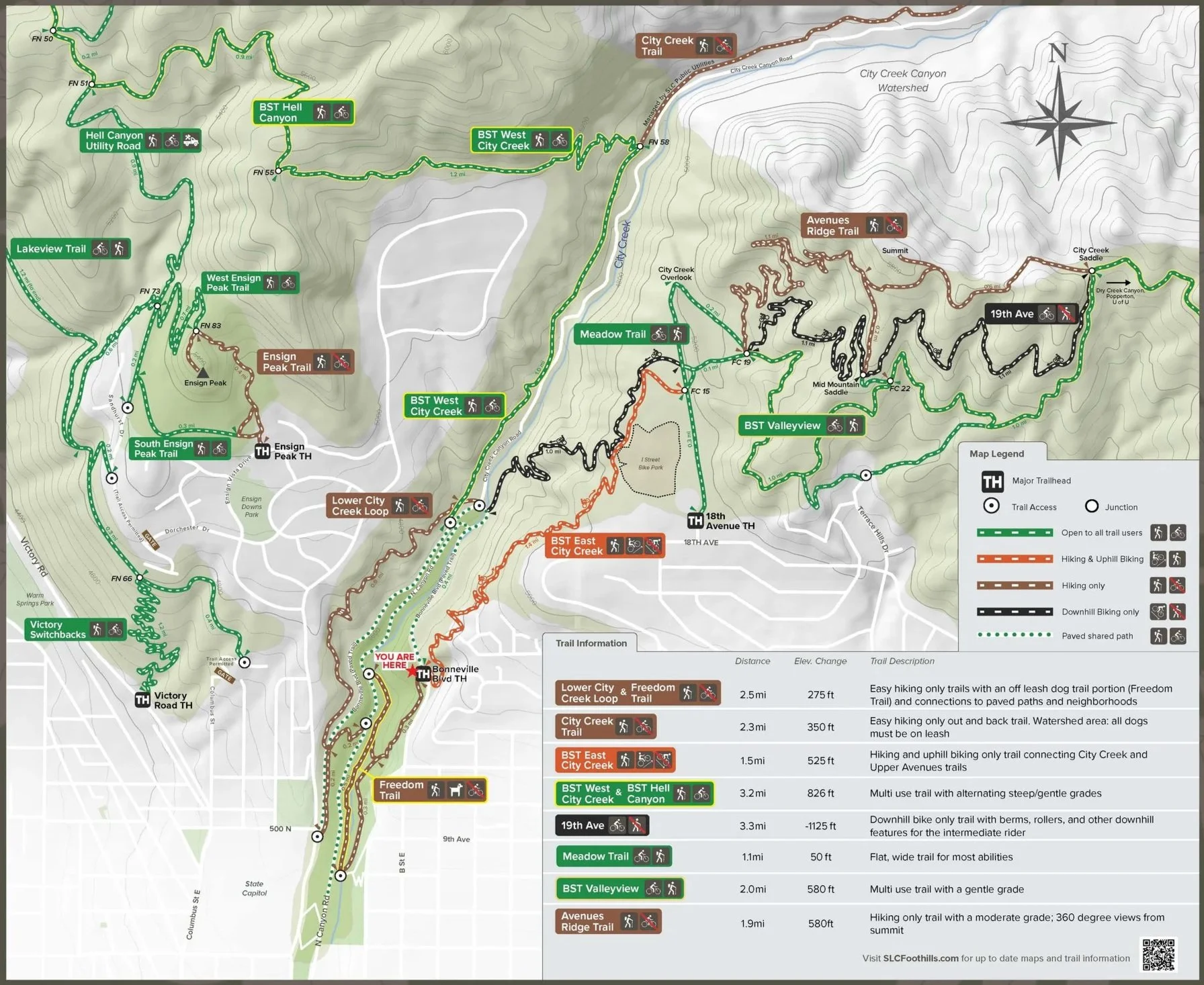
Bonneville Blvd Trailhead map
This map was created for the trailhead kiosk at Bonneville Boulevard. It orients trail users to the different trail designations, length, elevation, and access points within the map extent.
Short trail descriptions are offered in the lower right with distance and elevation information.
Salt Lake City Trail Map
A pocket-sized city trail map organized by difficulty with short descriptions and length information.

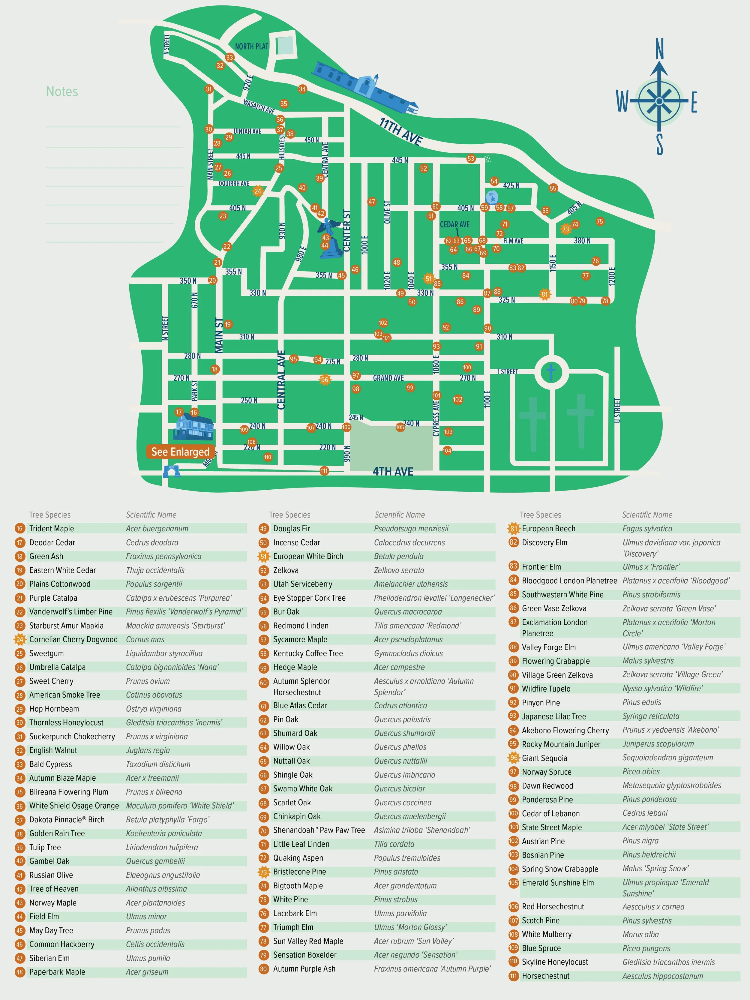
Mark Smith Memorial Arboretum
For the tree lovers, a visual guide to notable trees and their scientific names within Utah’s oldest cemetery and the largest municipally-owned cemetery in the United States.
Take a short tour around the sexton’s building or an extended tour through the City Cemetery spanning over 250 acres.

Jordan River Water Trail
Map of proposed boat ramps along the Jordan River featuring estimated paddle times and amenities.
